![]()
Atlas of simple landforms of Mongolia (Illustrations for the course of geomorphology) Special |
|
| World Imagery, ESRI, Over 2000 preparared images Free ! |
|
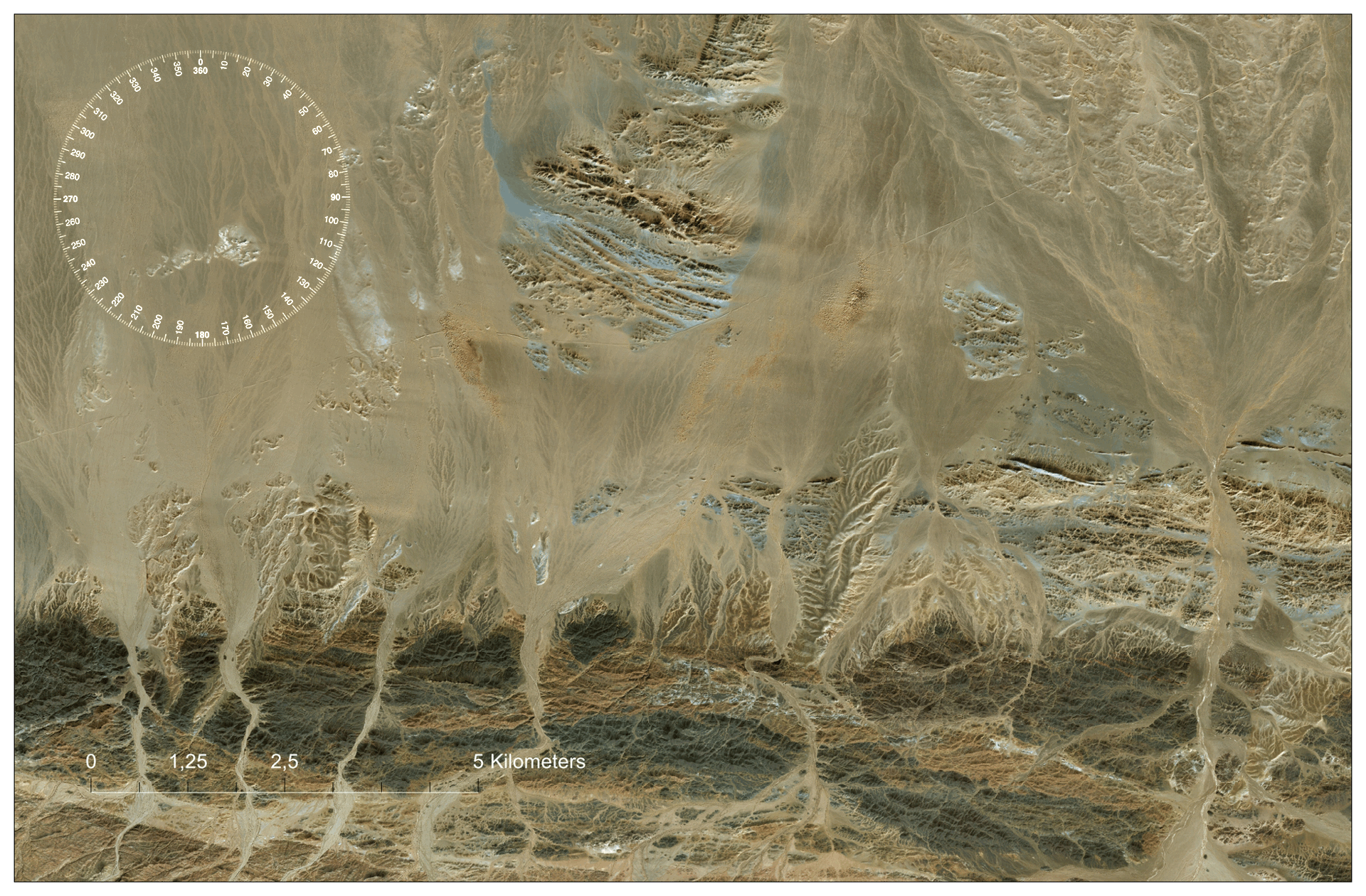
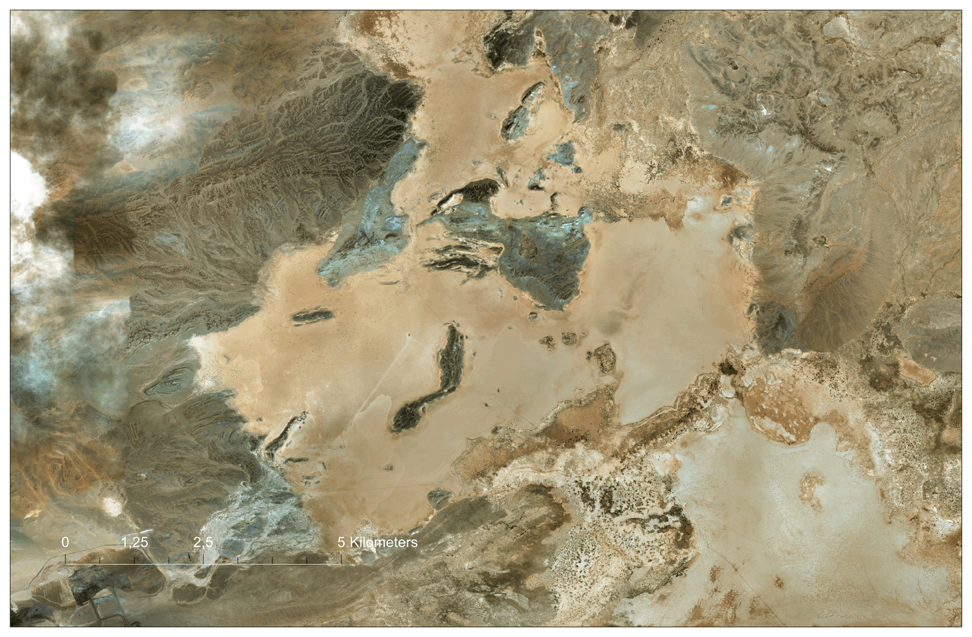
Exogenous processes and landforms |
|
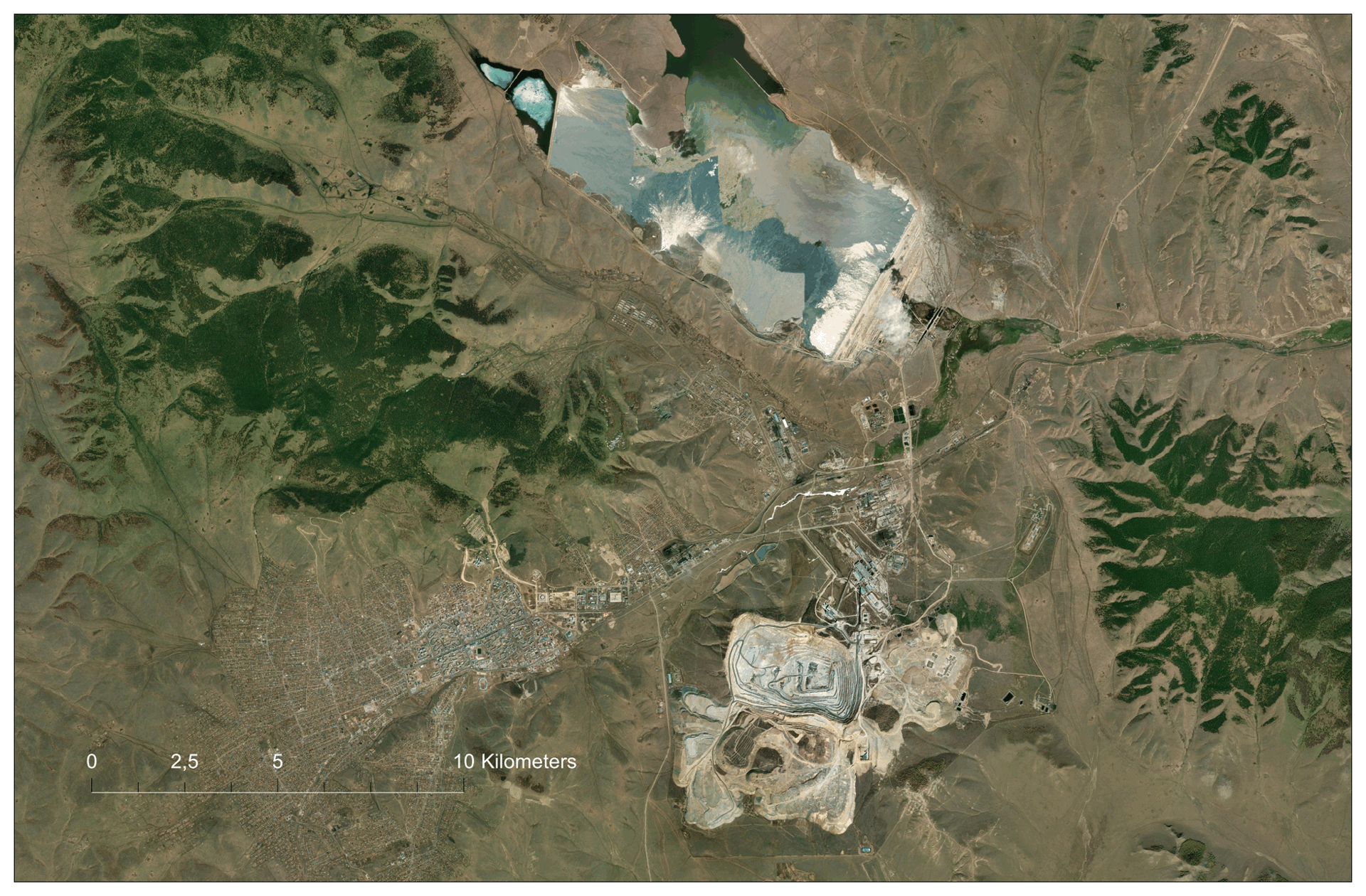
| Human and relief (technogenic forms), Mongolia (sample, 2023 / TECHNOGENIC SHAPE, in 2 versions) | |
This is a wide range of surface transformations as a result of human activity, depending on the type of activity, time, scale and technological capabilities. The question of anthropogenic landforms covers a long historical stage. In this work, for the territory of Mongolia, two periods are proposed. |
|
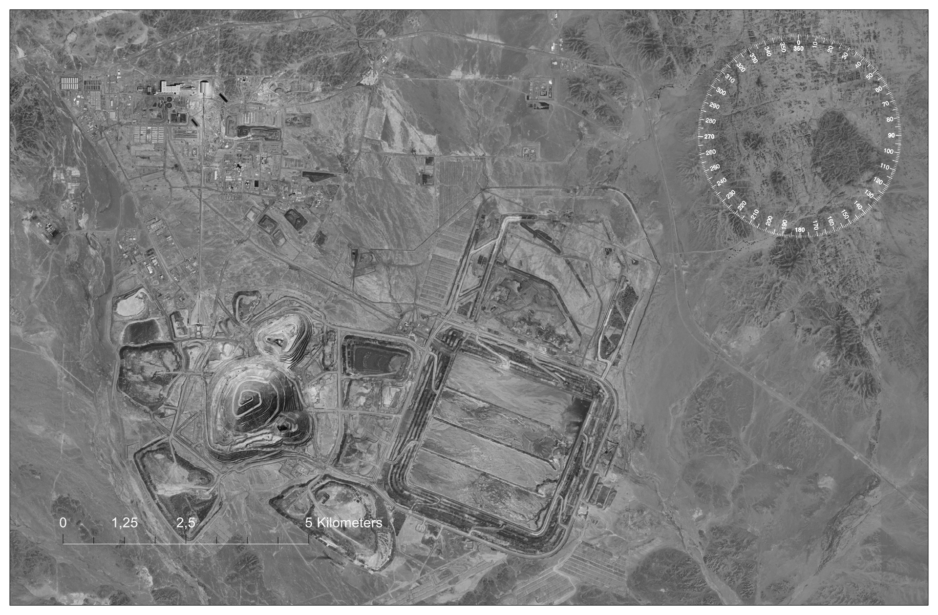
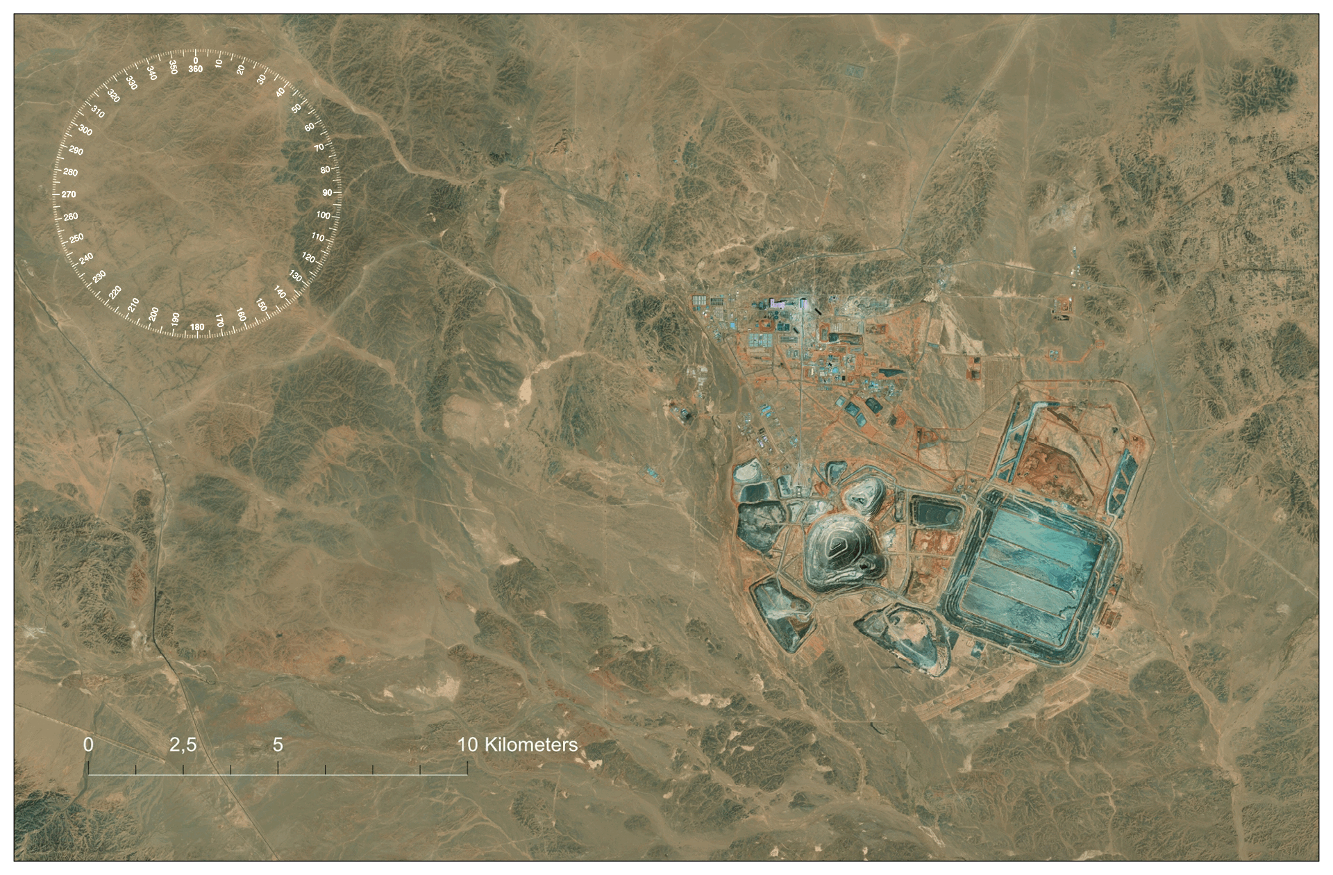
| Gobi Altai - site of an engineering structures - "Wall of Genghis Khan", Umnegovi Eastern or Mongolian Gobi (Gobi-Shamo) - mine: Oyu-Tolgol, Ali-Bayan, Umnegovi, Khangai Highlands - Erdenet, Bulkan (GIF89a) |
|
Map of representative surface areas. Technogenic forms |
|
 |
|
| Layers: Generalized Terrain GEBCO Hilshade, GEBCO Compl. / World Dark Canvas, 2022.ESRI. Selected areas are indicated by off-scale icons | |
List of representative surface areas.Technogenic forms |
А. Early engineering structures (Historic): "Wall of Genghis Khan"- (Tangut wall) Khar-Balgas (Karabalgasun, Ordu-Balyk) В. Engineering structures of the present -mine: Umnegovi - Nariin-Suchaityn Umnegovi - Navun-Tolgoi and Ucha-Chudag Orchon - Erdenet Umnegovi - Ouin-Tolgoi Dundgovi - Ulzit (Mandal-Govi), Umnegovi - Nouon Dornod - Ichhet Umnegovi - Tsagaan Khad Umnegovi - Ali-Bayan Umnegovi - Aduun-Chuluun Dornod - Urgen Dornod - Uneg ...other geosites: Downloads: Reference information: Materials for GIS: Sourse / Data sourse Coordinates technogenic landforms 2023 Thematic illustrations: Satellite mosaics based on World Imagery, ESRI An example of visualizing data Field photo - Photopage / Photoalbom / Postcard Buddhist monastery and other object Comments:
*ZIP/JPG, RGB/Grey environment, size 1920x1260 pix (FD), resolution 300 dpi. Previews are presented in thematic selections. PDF files have been prepared for self-printing of large-sized and high-quality images.
The optimal sheet size for printing is up to 225x150 cm. By agreement with the customer, other types of files can be used - MXD, TIFF, PNG, or a CMYK, Adobe 98 color environment has been prepared ...
Satellite mosaics of the sacred massifs of the Big Altai
Visualization of data from multispectral satellite images Landsat, Santinel...
Монголия. Открытая поверхность. geophotobank.com/open-mn / geo-edu.ru/open-mn © Абдульмянов С.Н. abdulmyanov@gmail.com